Imaging the Miami River
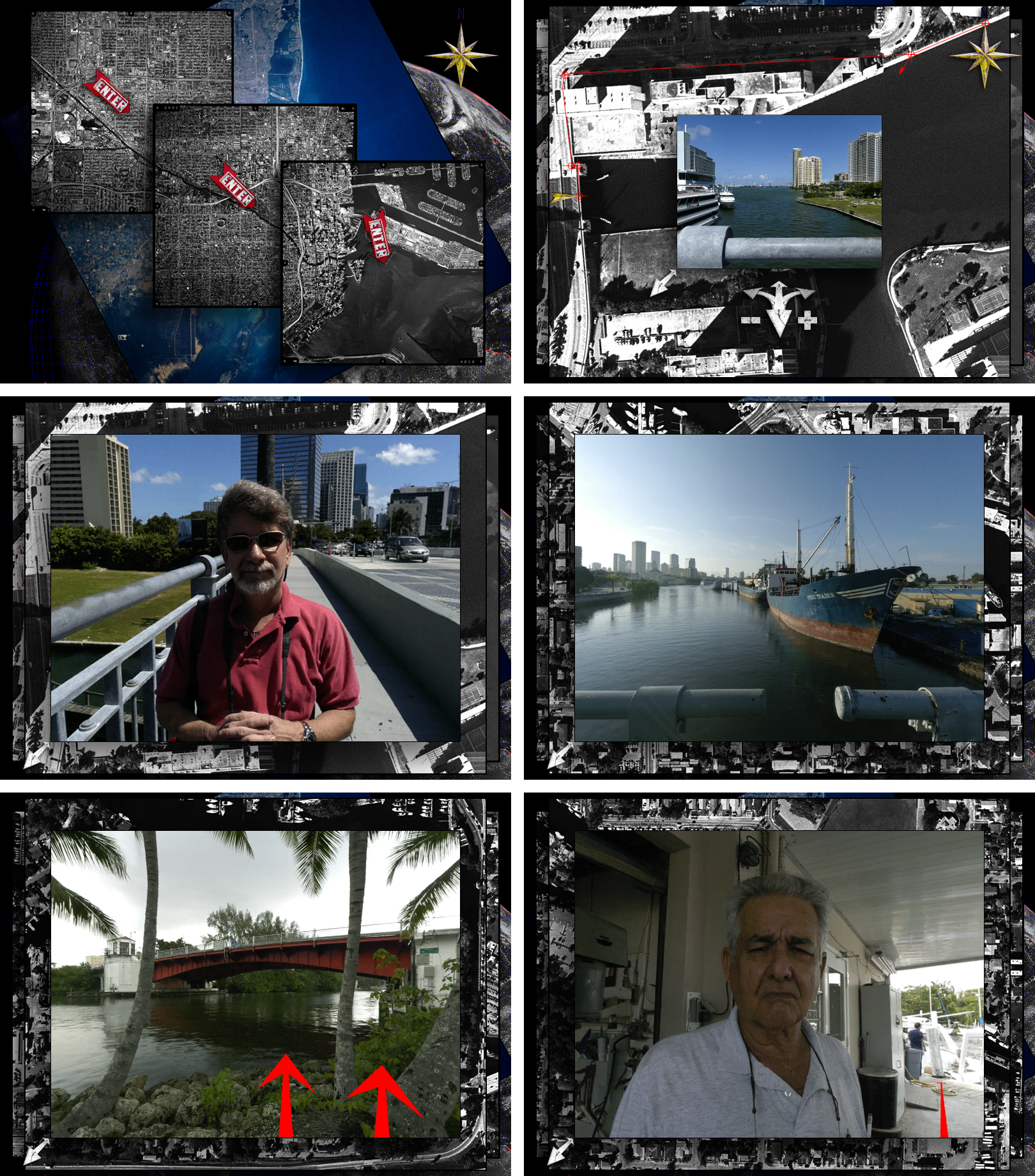
The city of Miami is a quite literally a threshold between the U.S., Latin America and the Caribbean, and the Miami River is a hinge for this connection. Air and cruise ship traffic aside, the Miami River connects the city to over 72 ports of call throughout the hemisphere with most of the traffic operated by small shipping contractors in vessels of 100 tons or less.
Overseeing this process are over 32 local, state and federal agencies, many with competing agendas, which are responsible for the regulation of the river zone. Through this bureaucratic entanglement, drift the denizens of the zone, immigrants, legal and otherwise; marginalized peoples; idiosyncratic personalities; rich and poor.
In spatial terms, The Miami River clearly exemplifies the dynamic and interdependent relationship between the smooth space of the sea and the striated space of the city grid explored by Deleuze and Guattari in 1000 Plateaus. The conditions of the river zone demonstrate an urban space where there is a mixture or “holey space” that exists as constantly shifting degrees of interpenetrating social and physical realities. Everywhere there is leakage and contamination of one kind of space into the other. Like the Haitian boats listing at port along the river leaking bilge and taking on water, the unchecked pollution problems of the city seep into the river along its largely ignored watershed.
